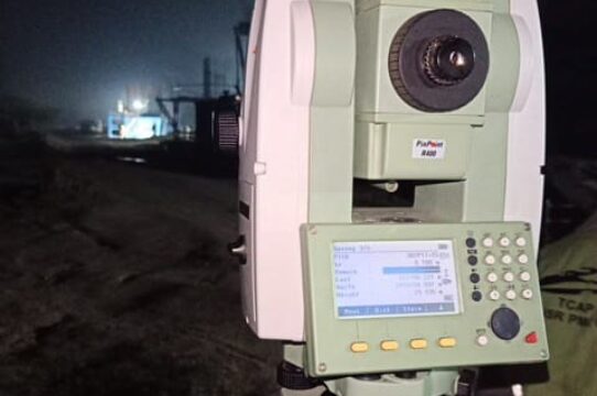
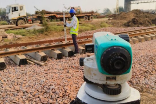
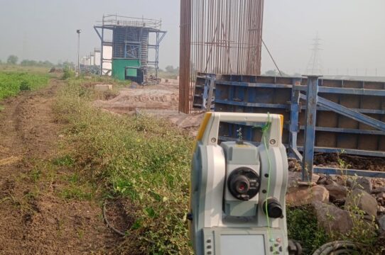
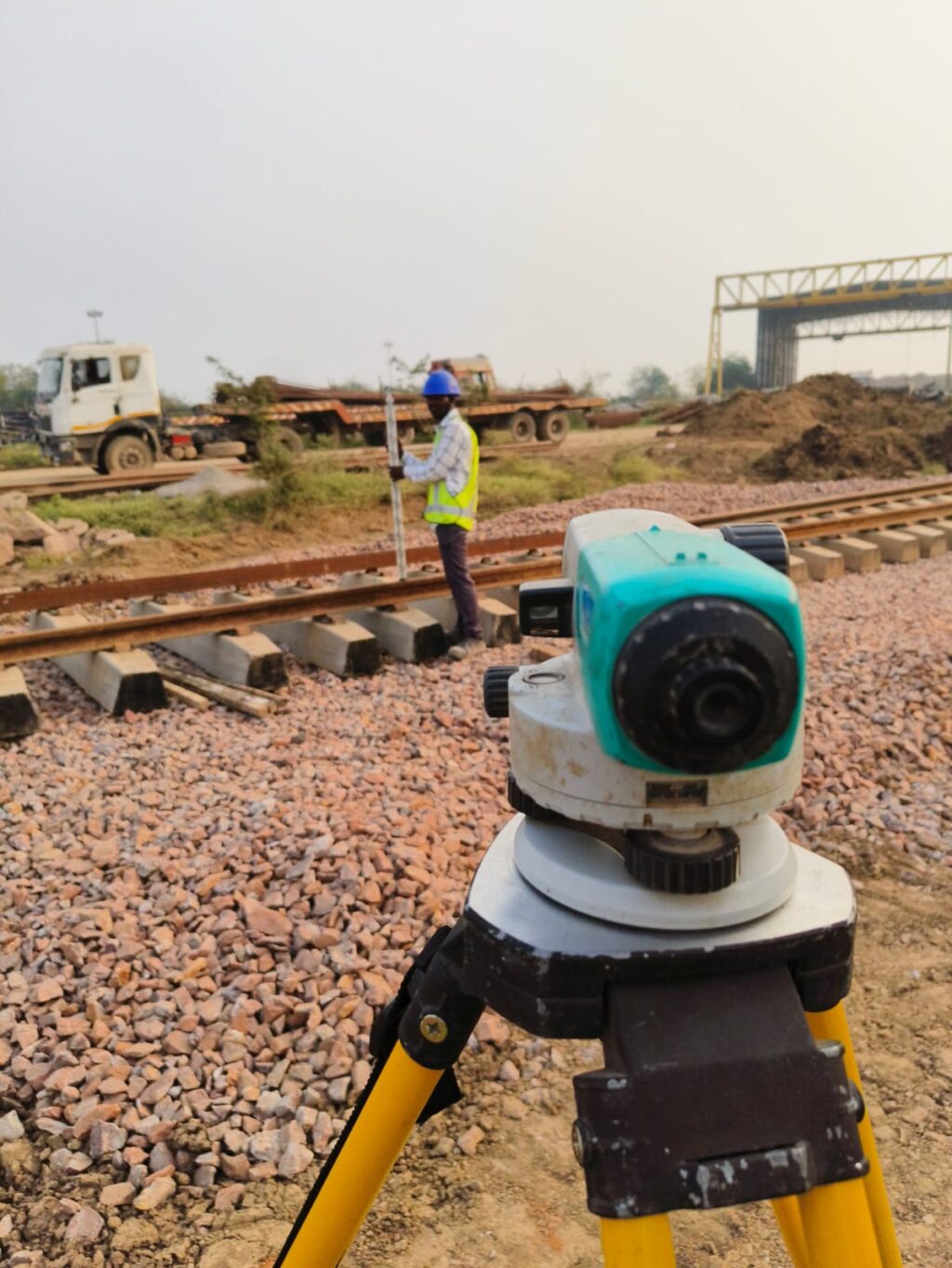
Engineering Survey
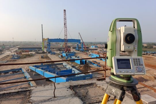
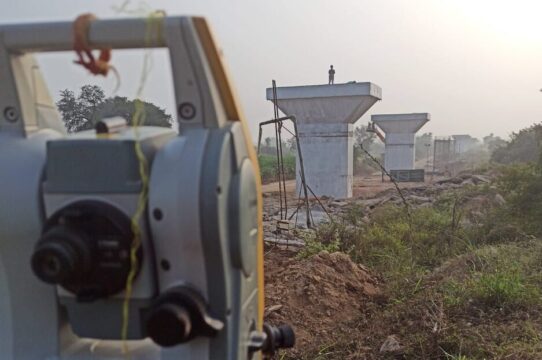
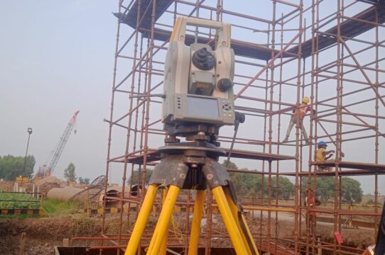
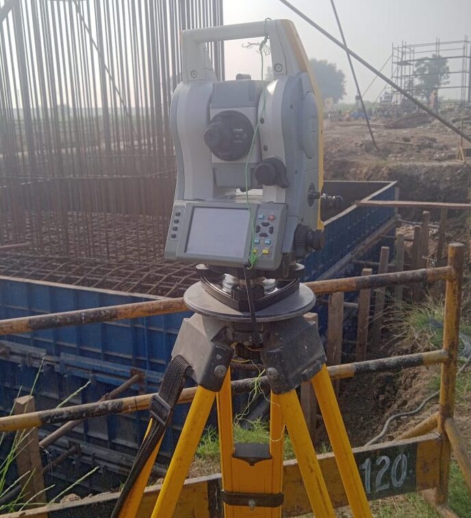
Elevate your project planning with our precise Topographical Surveys. Using cutting-edge technology like Drones, DGPS, and Total Station, B. S. GEOTECH PRIVATE LIMITED delivers detailed, high-resolution maps/ drawings.
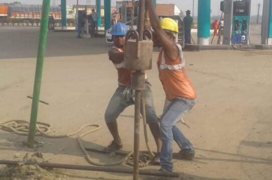
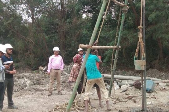
Geo Technical Investigation
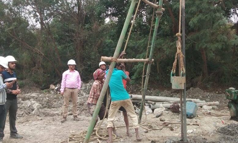
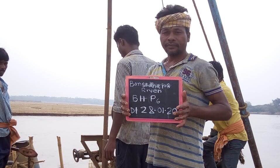
At B. S. GEOTECH PRIVATE LIMITED, our expert geotechnical team employs cutting-edge techniques in drilling and boring to assess soil and rock conditions accurately. Our meticulous approach ensures precise data for foundation design and construction planning, guaranteeing the structural integrity of your projects.
CAD & GIS
Raster to Vector
CAD Training
GIS Mapping
B. S. GEOTECH PRIVATE LIMITED is a Civil Engineering Consultancy Company
Providing Geotechnical Investigation, Topographical Survey and CAD consultancy services for eminent organisations in India for last one and half decade.
More than One Decade of Providing Geotechnical Engineering Services
That meet or even exceed requirements and expectations of our valued customers.
Latest Blogs
Unlocking the Magic: A Journey from Soil to Structure in Construction
In the world of construction, where dreams of towering buildings and sturdy homes come to life, there’s an unsung hero beneath our feet – the soil. Let’s embark on a[…]
Read more